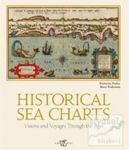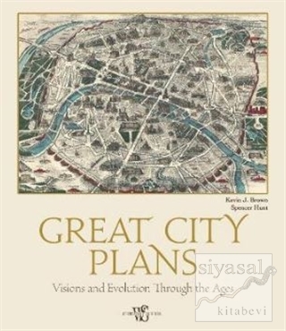
This book is an overview of plans, maps, and occasionally map-views of great cities all over the world. It follows the development of the city plan from its earliest stages in the Renaissance, through the Enlightenment, to the colonial city, the Grand Tour, Asian cities, the Industrial Revolution, gold rush and frontier cities, the administrative city plan, and finally the modern pictorial city map.
Each map will be accompanied by a textual description of the map placing it within its historical, political, social, and /or economic context. In addition, we will also include short biographies of the cartographers who produced each map highlighting their contributions to cartography.


